Research Methods
Satellite imagery
Satellite imagery represents a paradigm-shifting advance in our ability to study Antarctic wildlife. Our lab has developed new methods of using 30 m resolution Landsat imagery and sub-meter resolution commercial imagery to detect the distribution and abundance of Antarctic wildlife. We have an enormous collection of satellite imagery of Antarctic penguin colonies stretching back to the earliest days of earth observing satellites, which allows us to track the health of colonies back over a nearly 50-year period in which climate change and fishing and the recovery from direct harvest have exerted major impacts on Antarctic wildlife.
Computer vision
While much of our analysis of satellite and drone imagery still requires pain-staking and time-consuming manual annotation, we have worked diligently to transition away from manual annotation to automated methods leveraging new advances in deep learning and computer vision. While the technical challenges of a fully-automated monitoring network remain formidable, we are on the precipice of a new future for Antarctic ecology with fully automated surveys that can efficiently and regularly scan the continent and the surrounding oceans.
Statistical methodology
While the lab is deeply invested in gathering new data, the end goal is always to integrate those data into a coherent understanding of the dynamics of Antarctic wildlife. Often, doing so requires the development of new approaches in statistics. Much of our work in this area is focused on the use of spatial statistics to understand the spatial ecology of wildlife. Other efforts involve the use of new statistical methods to model inter-annual variation in abundance or incorporate observation error. Our statistical models of penguin abundance are constantly being improved upon, with the latest efforts made available to the community through the Mapping Application for Penguin Populations and Projected Dynamics (MAPPPD).
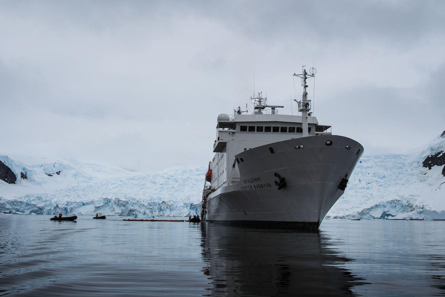
Field work
At the heart of everything we do is field work. Using commercial cruise vessels and privately chartered yachts, we survey seabirds and marine mammals and collect samples (e.g., blood, eggshells, guano) that can illuminate the processes that underpin the patterns of population change we are studying. Our work on cruise ships provides a front row seat to the issues surrounding Antarctic tourism — providing data critical to site guidelines and tourism management — and provides an unparalleled venue for education and public outreach.